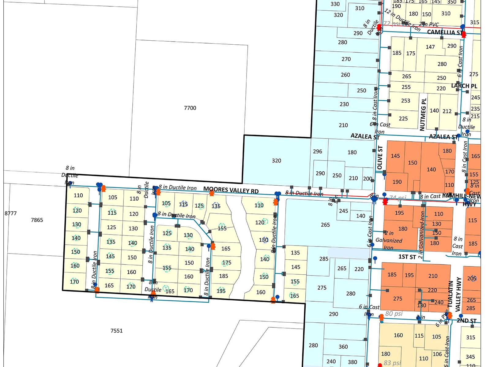
As part of AKS’ ongoing work with the City of Yamhill, AKS utilized a combination of CAD- and GIS-based data to produce a map of known water distribution resources. The data used in this map was created in large part by City of Yamhill staff though GPS-based site investigations and by digitizing information from historic utility plans and maps. The resulting map, and corresponding GIS database, identifies the location of water hydrants, meters, valves, and distribution lines in the City of Yamhill.
Owner
City of Yamhill
Location
Yamhill, OR
Services Provided


