Port of Kalama On-Call Hydrographic Surveying

Project Completed: Ongoing

Port of Kalama

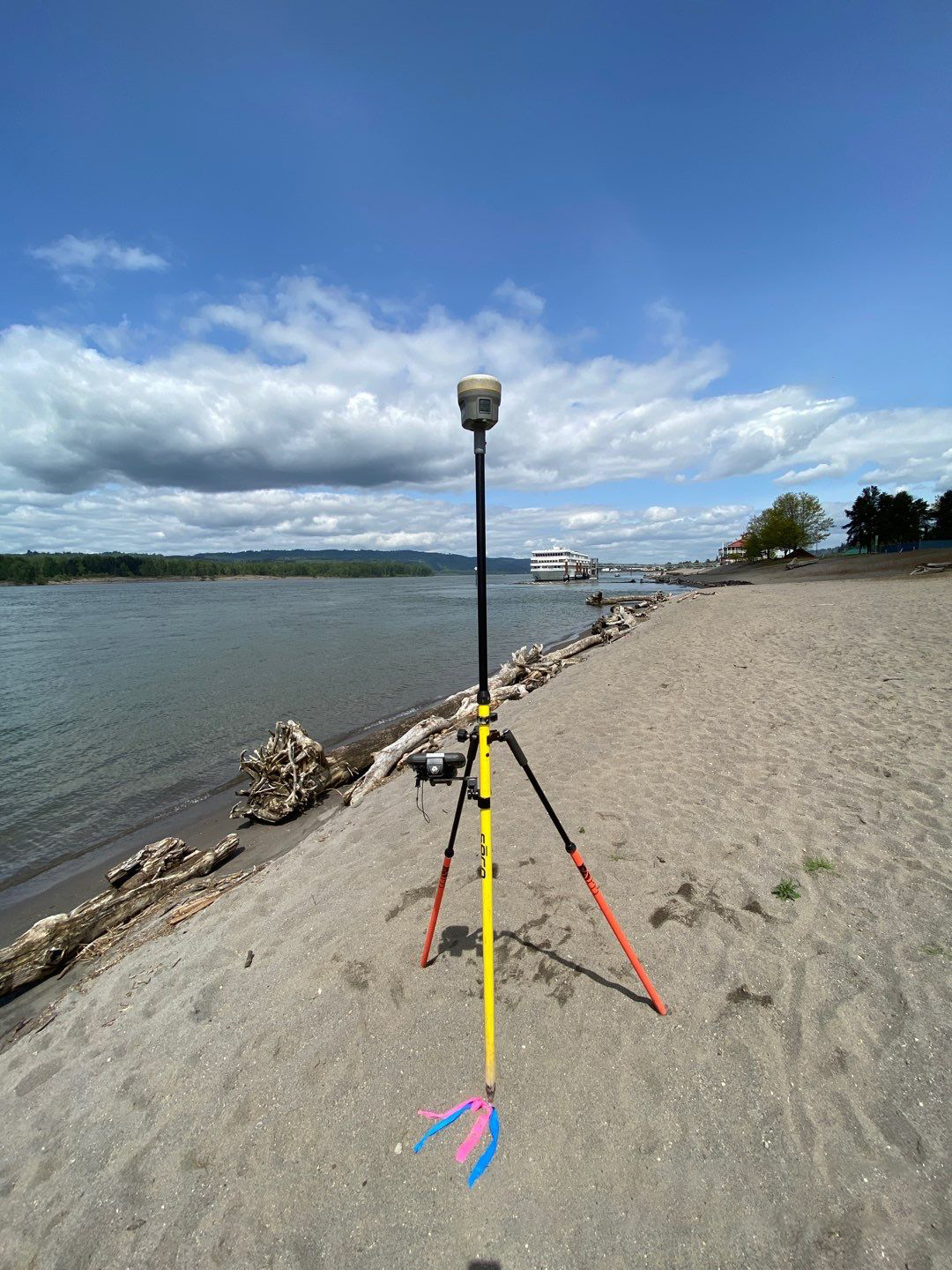
Our team is currently the Port of Kalama’s (Port) on-call hydrographic surveyor to support maintenance dredging needs, dredge disposal monitoring, and engineering and design projects. Because the Port has dynamic vessel arrival/departure schedules, it requires coordination and flexibility around berth openings. Port berths are also subject to high sediment loading from the Columbia River and upstream tributaries, meaning their berths require frequent monitoring to discover the result of obstructions or restrictions.

Hydrographic surveying equipment set up on a sandy shore next to a body of water

HYDROGRAPHIC SURVEYING

Annually, dredged material from the Port is disposed of in designated off-channel locations and is periodically monitored for changes with repeat multibeam surveys. Our team completed the pre- and post-placement surveys and continues to survey these sites periodically for the Port. Additionally, the Port placed dredged material along its shoreline as a part of a beach nourishment project. Our hydrographic surveyors completed the pre- and post-placement surveys for the beach nourishment sites to help stakeholders monitor progress and changes to the shore contours over time. The data we collected is used by agencies and engineers to better understand the sedimentation processes at work in the Columbia River at the Port of Kalama. 

We have also performed multiple uncrewed aerial vehicle (UAV) surveys on existing sand stockpile sites as well as construction staking for roadway, utilities, parking lots, recreational facilities, and building construction at the Port. AKS has performed FEMA floodplain mapping services, ALTA surveys, boundary surveys, title/easement research, and topographic surveys for over 160 acres at various sites for the Port since 2015.