
Our field crews do more than just survey the job.
We understand the importance of data accuracy and make decisions driven by what’s right for the entire project—not just within the scope of surveying.
Welcome to the new AKS Engineering & Forestry website!

person survey team
office surveyors
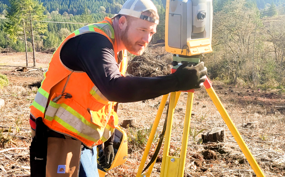
field surveyors
Registered Professional Land Surveyors
full-equipped survey crews
Local Agency Survey On-Call Contracts
We understand the importance of data accuracy and make decisions driven by what’s right for the entire project—not just within the scope of surveying.

Hydrographic surveying uses various methods to study bodies of water to explore and document the terrain below the water’s surface. These surveys can be used to determine dredging feasibility and record the conditions after dredging is complete.
When you want to know exactly where property lines lie or need to map your plans out on a construction site, our fully equipped and readily available survey crews can help. We can execute various survey types—topographic, cadastral, ALTA/ACSM, GIS mapping, and more—to fit whatever kind of project you need to be surveyed.

Construction surveying, or staking, is a way to lay out markers to guide construction for a project to ensure it gets built according to plan. When a project is complete, an as-built survey can show you what was actually built compared to what was planned.

Aerial surveying uses drones or other aircraft to efficiently capture detailed images of a given area. These surveys are ideal for construction time lapses, structure modeling, post-disaster assessments, as-built assessments, and more.

Geographic information systems (GIS) allow our analysts to manage, capture, manipulate, analyze, and present different data types visually to give our clients a more in-depth look into project sites and environments. Our GIS services include advanced geospatial analysis and modeling, hydraulic modeling, 3D modeling and animation rending, cartography, and custom web map development.


